Protected-Use Zones Near a Plot: How to Investigate ZOUIT Before Buying
A line on a public map does not explain what can be built or altered. This guide shows how to identify a Russian protected-use zone, verify its boundary and test the consequences for a country property.
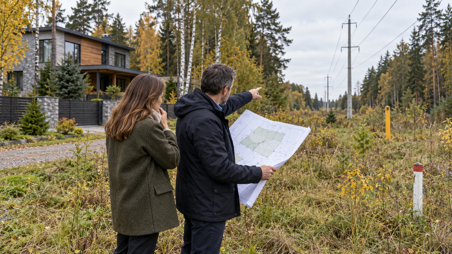
A country plot may look fully settled: the house is registered, the garden is mature and the driveway functions. Yet the boundary may sit beside a power line, pipeline, communications facility, water body, drinking-water source, road or another asset that creates a special land-use regime. In Russian law, many such areas are classified as zones with special conditions for the use of territories, commonly abbreviated as ZOUIT.
A ZOUIT does not automatically mean expropriation or demolition. Article 104 of the Russian Land Code links these zones to public safety, infrastructure operation, heritage protection and environmental protection. As a general rule, affected plots are not taken from their owners, but restrictions may govern the land and the property above or below it. The buyer therefore needs more than a coloured map layer: identify the exact zone, its legal basis, the applicable restrictions and their compatibility with the intended use of the estate.
Treat this as a dedicated part of the wider legal and technical due-diligence process. A broker’s reassurance, the seller’s screenshot or a single registry extract cannot replace plot-specific work by Russian property counsel and a cadastral engineer.
Identify the type of zone before assessing the risk
Article 105 of the Land Code lists multiple ZOUIT categories. They include heritage-protection zones, protection zones for electricity infrastructure, railways, pipelines and communications lines, roadside strips, aerodrome territories, water-protection zones, coastal protective strips, sanitary zones for drinking-water sources, flooding zones and sanitary-protection zones. The everyday phrase “protected zone” does not make their rules interchangeable.
Create a separate record for every mapped contour. Note its official type, registry or other identifier, source, information date, establishing instrument, protected or operational asset, geometry and restrictions. When several layers cross the plot, do not merge them into one generic warning.
- What is the zone’s exact official classification?
- Which part of the cadastral plot falls inside it?
- What infrastructure or protected asset creates the regime?
- Which decision, regulation or legal rule establishes the zone?
- Which activities are prohibited, conditional or subject to approval?
- When was the zone established or entered in the relevant register?
- Which authority or infrastructure operator must be consulted?
Do not import the restrictions of one category into another. An overhead power line, an underground pipeline and a water-protection area need different documents and professional input. There is no reliable universal setback for every protected object; the applicable regulation and the specific zone record control the analysis.
Build three evidence layers: registry, instrument and physical site
A defensible conclusion needs three evidence layers. The first is current EGRN information on the plot, buildings, registered restrictions and boundary records. The second is the instrument governing the zone: the establishing decision where applicable, the regulation for that category, the restriction text and the coordinate description. The third is the physical site: the relationship between the line, pipe, shore, road or other asset and the fence, house, driveway and proposed works.
The public cadastral map on Russia’s National Spatial Data System is useful for orientation and layer comparison. A screenshot is not a complete transaction record. It may not contain the full restrictions, source instrument or the accuracy needed to set out a boundary on the ground. Obtain the relevant EGRN material and retain the electronic files with their order date.
Ask the seller for more than a plot extract. Review the development plan, planning and construction records, approvals, technical conditions, correspondence with the infrastructure owner, survey materials and records of earlier work within the affected strip. Silence in the sales brochure proves nothing; an old approval may not cover a new extension.
Compare the result with the separate guide to easements and sole access. A private easement, a public easement and a ZOUIT are distinct legal structures. The same corridor may be relevant to access and utilities, but one regime does not automatically establish the other.
Verify the boundary on the ground when it changes the decision
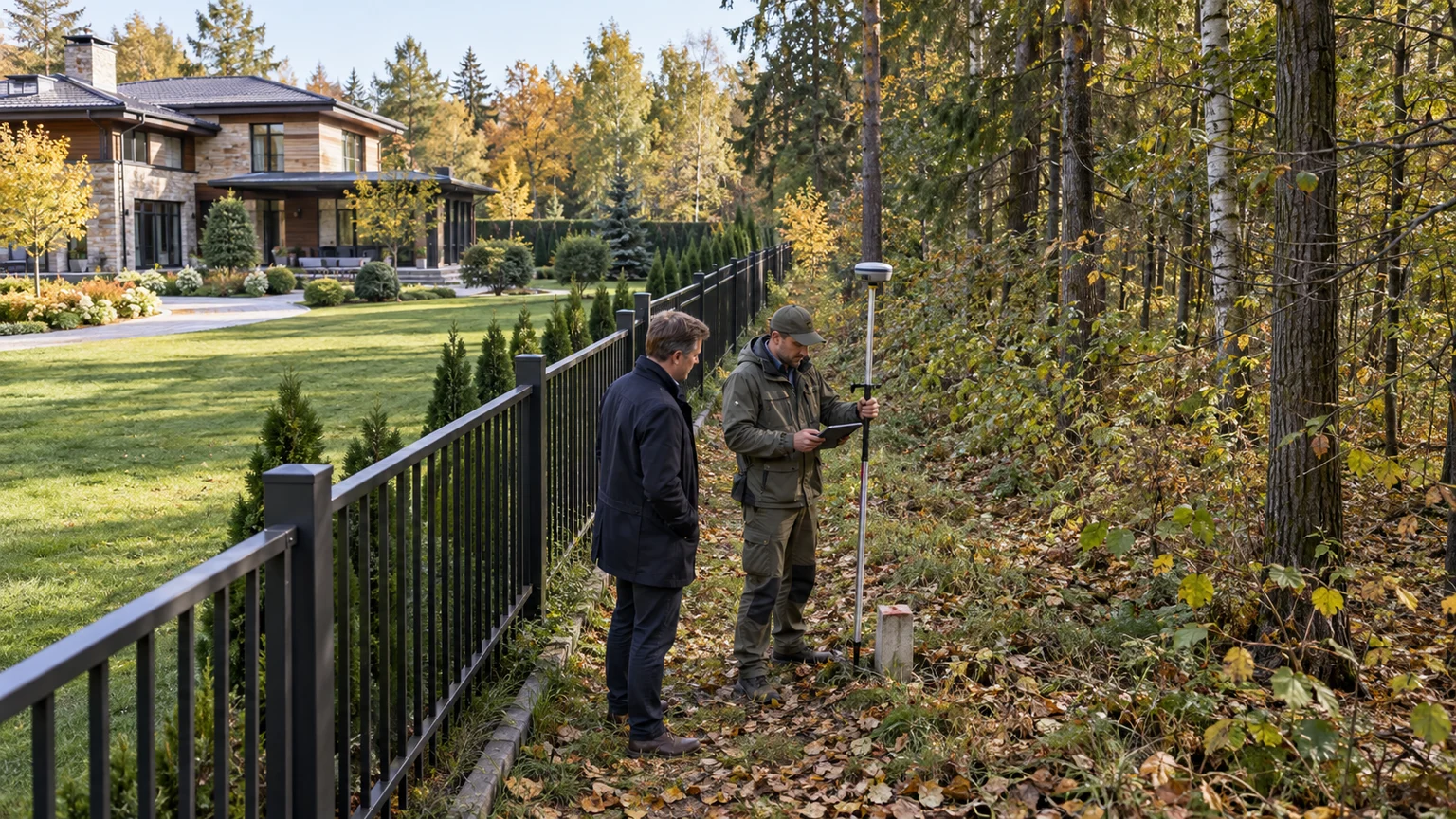
A digital overlay can flag a concern, but it does not tell the buyer whether a terrace crosses the line by several metres, whether a proposed garage sits in the corridor or whether the fence matches the registered plot boundary. If the answer affects price or use, instruct a cadastral engineer to compare the plot and zone coordinates, assess source accuracy and, where appropriate, set out key points on site.
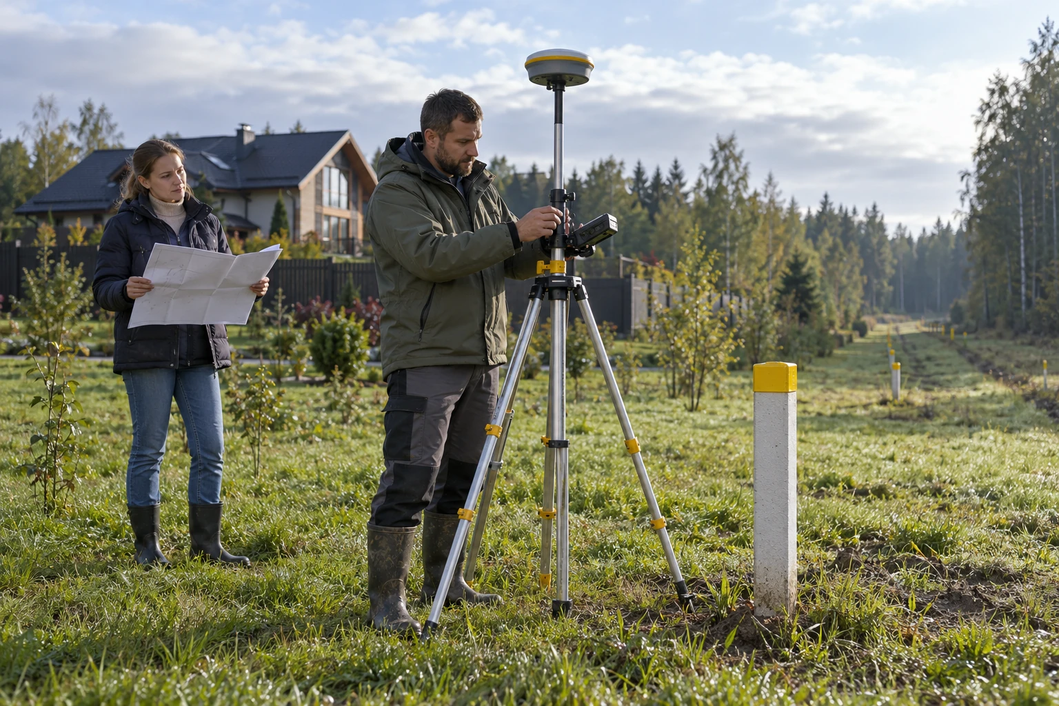
The field exercise should cover more than a survey peg. Place the house, guest and service buildings, canopies, paths, retaining walls, treatment plant, well, drainage, mature trees, driveway and underground services on a common plan. Then add the proposed extension, pool, sauna, garage, utility route, excavation and large-tree planting.
Record the accuracy and status of every dataset. Do not move an official boundary informally to match a visible pole or marker. The physical asset has its own geometry, while the legal zone may have registered coordinates and a formal amendment procedure. If the records conflict, the advisers must identify the controlling material and the proper correction route.
Translate legal restrictions into ownership scenarios
A list of restrictions remains abstract until tested against what the buyer plans to do. Build a matrix with five columns: proposed action, location on the plot, relevant restriction, required approval or condition, and proof of compliance. Review existing use, routine maintenance and future capital works separately.
- Construction and alteration: changes to footprint, height, use or underground structures.
- Ground works: excavation, trenches, drilling, drainage, cellars and ground-source systems.
- Landscaping: mature trees, removal, stump extraction, grading and soil storage.
- Fences and access: maintenance routes, gates and permanent structures in an operational corridor.
- Water and discharge: wells, treatment systems, outfalls, shore works and use of chemicals.
- Daily operation: surface repair, utility replacement, heavy equipment and material storage.
Do not stop at the question of whether the existing house is registered. Even where the house has registered title and historic approvals, the regime may affect a later extension, a garage, utilities or operational access. Ask counsel to separate three conclusions: the status of existing structures, lawful current operation and the feasibility of each proposed change.
A waterside property needs the dedicated waterfront-house due-diligence checklist. A future external development needs the separate guide to investigating construction beyond the boundary. These workstreams complement rather than replace the ZOUIT analysis.
A registered house is not the end of the enquiry
An EGRN record confirms registry information and registered title. By itself, it is not a universal certificate that every land-use restriction has been satisfied. Establish when the building was created, which restrictions applied, what permissions and approvals were obtained, whether later alteration occurred and whether the physical building matches the documents.
Article 107 of the Land Code addresses consequences of establishing or changing a ZOUIT, but the answer for a particular building depends on the zone type, dates, instruments and facts. Short assurances such as “the house predates the zone” or “the zone appeared later, so it does not matter” are unsafe. Russian counsel should review transitional and special rules; the appropriate engineer should assess the technical implications.
Build a timeline covering the seller’s acquisition, construction and commissioning, cadastral registration, establishment or alteration of the zone, later works and approvals. Link every event to a document. Treat an unverified date or undocumented approval as transaction uncertainty.
Inspect utility routes, not only the percentage of affected land
A zone may cross only a narrow edge of the property yet contain the sole driveway, electricity entry, gas line, drainage outfall or reserve communications route. Percentage of area is therefore a poor decision metric. The functions located inside the contour and the availability of alternatives matter more.
Obtain as-built utility plans and responsibility boundaries. Identify the owner or operator of each asset, emergency access arrangements, notice or approval requirements for works, and the position of existing planting and surfaces. For estate-wide infrastructure, use the separate guide to ownership of community roads and utilities.
Inspect marker posts, chambers, cabinets, pylons, clear strips, repair traces and vehicle access. Their absence does not cancel a documented regime, while their presence does not prove the exact legal boundary. Tie photographs to the plan and camera direction so that advisers can reconcile the site with coordinates.
Convert the findings into a pre-deposit decision
The final report should not be a folder of screenshots. For every zone, state the verified classification, source and date, affected part of the plot, originating asset, restrictions, existing non-compliance or uncertainty, effect on the buyer’s scenario, required action and responsible party.
- Compatible without further action: the regime is verified and does not affect present or planned use.
- Compatible subject to conditions: approval, design work, notice, operator access or another procedure is required.
- Correction required before completion: coordinates, documents, physical use or work status conflict.
- Key plan is prohibited or uneconomic: the restriction defeats an essential part of the acquisition case.
- Unacceptable uncertainty: the establishing instrument, boundary description or records for existing work cannot be obtained or reconciled.
Carry these findings into the deposit and sale documents. Define what the seller must provide, who obtains each approval, what counts as a satisfactory outcome and what happens if the verified regime differs from the disclosure. A material ZOUIT issue should not be left for the new owner to investigate after title transfer.
Homes along Rublevo-Uspenskoye Highway and Novorizhskoye Highway often derive their appeal from woodland, water and established infrastructure. That value is protected when registry geometry, the special regime and the owner’s plans are demonstrably compatible. Good due diligence does not try to erase every line from the map; it turns each line into a precise, documented and manageable set of conditions.