Easements and Sole Access: What to Check Before Buying a Plot
An attractive plot may rely on a single lane across someone else’s land. This guide shows how to verify the legal right, mapped corridor, practical access and transaction safeguards.
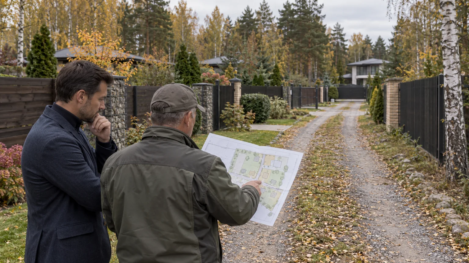
A plot can look entirely ready for purchase: its cadastral boundaries are recorded, the house is complete, the gate opens and the seller has used the same lane for years. Yet when the only route from a public road crosses land owned by somebody else, present-day tolerance is not proof of durable access. A buyer needs four things to align: the legal basis, the mapped corridor, continuity after title transfers and a route that actually works for ordinary and emergency use.
Article 274 of the Russian Civil Code allows an easement for passage and vehicle access across neighbouring land where the relevant need cannot otherwise be met. A private easement is ordinarily established by agreement and registered; if the parties cannot agree, a court may determine it. This does not mean that a well-used track automatically becomes an easement or that litigation will quickly preserve the buyer’s preferred route. The Supreme Court’s official review treats the remedy as exceptional, requires alternatives to be examined and calls for the least burdensome workable option for the servient owner.
Access should therefore be a distinct workstream within broader country-property due diligence. This guide helps frame the investigation, but the legal conclusion for a specific plot belongs to a Russian property lawyer working with a cadastral engineer.
Map the complete chain from public road to gate
Do not begin with the seller’s phrase “there is an easement.” Begin with a route diagram. Mark the public highway or street, every intermediate parcel, cadastral boundaries, turns, gates, barriers, bridges, drainage ditches and the final entrance. A long approach may rely on several owners and several legal mechanisms: a municipal street, community land, a privately owned lane, a leased strip and only then the seller’s plot.
Obtain current EGRN information for the property and every parcel crossed by the route. Reconcile cadastral numbers, registered owners, restrictions and encumbrances, and the outline of the affected part where such geometry has been recorded. The National Spatial Data System is helpful for an initial spatial review, but a map screenshot is not a substitute for extracts, title documents, the easement instrument and a professional boundary check.
- Who controls every segment between the public road and the gate?
- Does the driven track remain inside the recorded access corridor?
- Is the right attached to the correct property or granted only to a named person?
- Do the terms cover pedestrian access, vehicles, duration and gate operation?
- Is there a fee, an adjustment mechanism or debt left by the seller?
- Who repairs the surface, clears snow, maintains drainage and operates barriers?
Identify what the seller actually means by “easement.” It may instead be community membership, a road-use contract, a lease, a share in a road parcel, informal neighbourly consent or access over public land. These arrangements differ in durability, payment structure and treatment when either property changes hands. Marketing vocabulary cannot decide the legal nature of the route.
Read the instrument as an operating manual
A sound agreement or judgment should reveal more than the existence of a right. Review the parties, dominant and servient properties, duration, precise location, corridor geometry, permitted movement, gate rules, contractor access, maintenance, costs, liability for damage and termination. Where the right affects only part of a parcel, the drawing and written terms must describe the same area.
A short reference to “passage and vehicle access” may not resolve the operating needs of a substantial residence. Ask whether the agreed use covers family cars, taxis, couriers, maintenance vans, waste collection, renovation traffic and emergency response. Do not assume that every scenario is captured by a brief EGRN entry; counsel must interpret the entry together with the underlying agreement or judicial act.
Article 275 of the Civil Code provides for an easement to remain when rights to the servient land transfer, but the buyer still needs to establish that the right is validly recorded and connected to the relevant property. A personal arrangement with a former neighbour, a pass issued in the seller’s name or long-standing informal permission may not offer the same continuity. Conversely, buying land already crossed by other owners means accepting constraints on landscaping, fencing, construction and privacy.
An easement is not ownership of the road. It authorises limited use for a defined necessity. Investigate both sides of the acquired plot: does it benefit from rights over neighbouring land, and must it also allow others to pass across it?
Verify the corridor on site with a cadastral engineer
Documents and ground conditions should be inspected together. A cadastral engineer can set out relevant boundary points, compare the road with parcel geometry and identify where the used track leaves the registered corridor. This is especially important at bends, gate posts, retaining walls, drainage crossings and places where successive fences have narrowed the lane.
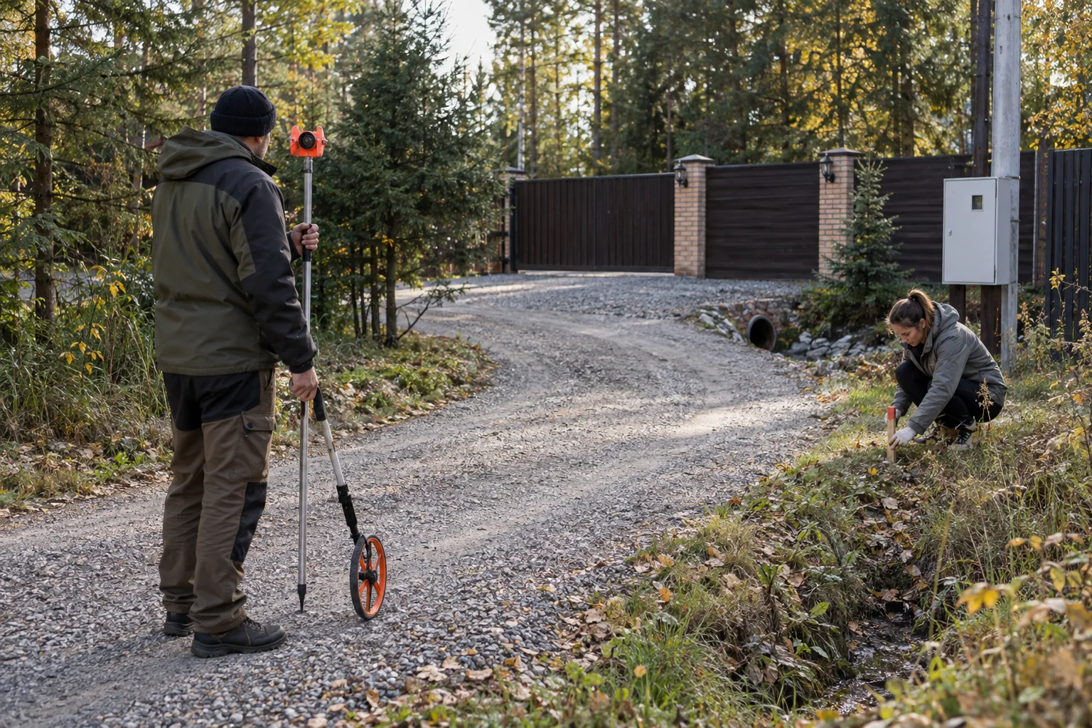
Do not record only the narrowest width. Walk the route from end to end and review turning geometry, passing opportunities, gradient, surface capacity, any bridge or culvert, overhead branches, winter maintenance and water discharge. This article does not prescribe a universal private-road dimension: the necessary geometry depends on vehicles, the property design, applicable requirements and the site itself.
With the owners’ consent and without damaging the lane, test access using a vehicle representative of the intended use. A passenger car proves little about a maintenance van or renovation delivery. Confirm how every gate opens when mobile service or power is unavailable and whether an authorised person can provide manual access.
Connect the private route to the wider community. Our guide to road and utility ownership in a gated community addresses common infrastructure, while the community-selection checklist adds guest, contractor and emergency-entry questions. Neither automatically resolves a privately owned segment beyond the main checkpoint.
Distinguish a private easement from a public easement
Private and public easements are not alternative labels for the same arrangement. A private easement supporting a particular property follows the civil-law route, including agreement or judicial determination. A public easement is imposed by a competent authority for statutory state, municipal or public purposes and is governed by specific Land Code provisions.
Use by several neighbours does not itself prove a public easement. Equally, a recorded public easement may support a utility line and provide no residential vehicle right of the kind the buyer expects. Obtain the authority’s decision, boundary description, purpose, duration and conditions, then compare its scope with the property’s actual access needs.
Where the route crosses unallocated land, forest land, a highway right-of-way or publicly owned land, a standard neighbour-to-neighbour agreement may be the wrong instrument. Specialist review is needed to identify the land status and the competent owner or authority. A transaction should not depend on an assumption that the municipality will later regularise the route or that a court must grant the preferred access.
Test whether access remains resilient after completion
Collect the history of practical use: correspondence about gates and repairs, invoices, meeting records, snow-clearance plans, closure notices and seasonal photographs. This evidence may expose operating practice and disputes, but it is not a substitute for a registered right. Investigate a newly erected fence, relocated track, new barrier, fee disagreement, change in ownership of the servient parcel or a promised future entrance.
Search for litigation, enforcement proceedings and material correspondence relating to the route. A judgment is not enough by its title; its operative part must define usable conditions, geometry, duration and any payment, followed by the required registration. If proceedings continue, counsel should explain the stage, interim measures and effect of a buyer stepping into the property position.
Article 276 permits termination when the grounds for the easement cease, and it also protects a servient owner where the burden makes intended use of the land impossible. The documented purpose should therefore match a durable, genuine necessity. A proposed road, parcel subdivision or community reconstruction may change the model later, but an uncompleted alternative does not remove today’s risk.
Price operational fragility, not merely legal possibility
A valid easement can still be inconvenient. A narrow single-track corridor without a passing point creates dependence on neighbours; weak surfacing restricts deliveries; poor drainage damages the lane; and unclear snow duties turn bad weather into an access dispute. These are ownership-cost and maintainability issues, not cosmetic details.
Build a scenario matrix covering an ordinary day, visitors, large delivery, waste collection, building work, heavy snow, a fallen tree, utility failure and barrier automation failure. For each scenario, identify permitted vehicles, the person who enables access, the fallback route and the relevant contact. This is more useful than the statement that “everyone has always driven here.”
When comparing homes along Rublevo-Uspenskoye Highway or Novorizhskoye Highway, never transfer an access conclusion from one community to another. Ownership and corridor geometry can differ between adjacent properties. The country-home catalogue can form a shortlist, but every entrance requires its own cadastral chain.
Turn findings into transaction conditions
Before paying a deposit, define the documents and events required to proceed. They may include obtaining current extracts, registering an agreement, correcting corridor geometry, clearing payment arrears, transferring gate controls, signing a maintenance protocol or confirming an independent fallback entrance. Convert the seller’s assurance into a condition with a deadline and objective evidence.
- Accept: the right is registered, the corridor matches the ground, the terms cover required scenarios and road maintenance is organised.
- Correct before completion: the right exists, but its plan, registration, fee, gate access or allocation of duties needs repair.
- Investigate further: the track leaves the mapped area, the alternative exists only in conversation, litigation continues or one crossed parcel remains unidentified.
- Pause: documents are withheld, access depends on personal consent, the road owner objects or physical geometry prevents essential use.
At handover, record keys, remotes, authorised telephone numbers, request procedures, maintenance contacts, surface condition and every live agreement. After the title transfer, complete any required updates and notify the operating parties without assuming that notification creates a right that did not previously exist.
Reliable access is not merely a gravel strip leading to attractive gates. It is an uninterrupted and provable chain from public road to plot: documents match boundaries, terms support the intended vehicles, and maintenance and fallback actions are allocated. If any link still depends only on goodwill, quantify and resolve that risk before signing rather than after the first locked barrier.