Why 15 km from MKAD Does Not Mean 15 Minutes: Build a Route Map
A practical way to test a country home's accessibility using real endpoints, repeat journeys, vulnerable junctions, alternatives and a decision-ready route matrix.

“15 km from MKAD” is a location label, not a commute promise. A buyer actually travels from a particular gate to a particular office entrance, school drop-off point, clinic or terminal at a specific time. The journey includes the community road, a local connector, junctions, the main corridor, the MKAD crossing and the urban final leg. Any one of those parts can matter more than the advertised distance.
Accessibility should therefore be surveyed as a property characteristic in its own right. The useful deliverable is a compact route map: the household's recurring destinations, observed journey ranges, vulnerable nodes, workable alternatives and unresolved seasonal questions. This lets buyers compare homes in the country-property catalogue by daily life rather than by floor area and a headline kilometre figure.
Define the endpoints before measuring anything
Ask what “from MKAD” means in the listing. It may be a distance along the main road, a complete driving route, a straight line or an approximate marketing reference. Keep that number as a geographic orientation only. Do not convert it into time.
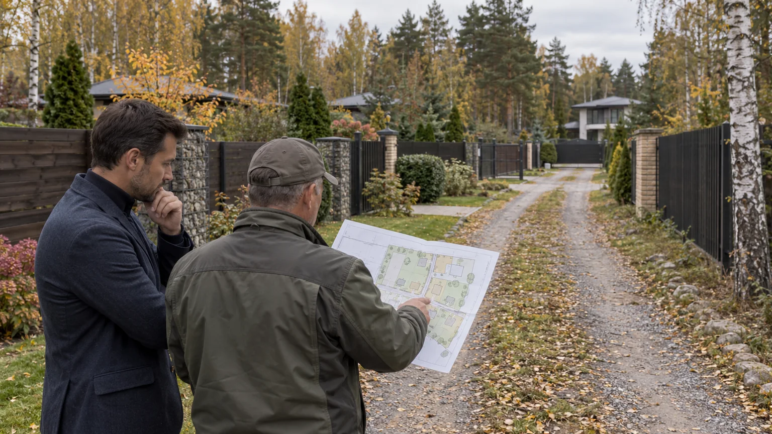
Create precise endpoints instead. “Central Moscow” is not an endpoint: a city boundary, an office car park and a passenger drop-off produce different results. “The school” is equally vague if the family uses a separate gate at arrival time. Pin the house gate, the authorised community entrance and the actual destination entrance or parking area. Yandex Maps' official help recommends refining the destination for large places with several entrances; the same discipline is valuable for everyday addresses.
- the house gate or the residents' normal community entrance;
- the office parking entrance or legal passenger drop-off;
- the school gate the child will use;
- the relevant station or airport terminal;
- the daily service destination that genuinely matters to the household.
Build separate routes for separate people. One executive's morning journey does not represent a driver's return leg, a child's evening pickup, staff travel or an urgent visit to a clinic.
Break the journey into operational sections
A useful route has four layers. The internal layer runs from the house to the gate and includes access rules, snow clearance and any second exit. The local layer connects the community to the main corridor and may contain narrow turns or junctions with no credible bypass. The trunk section is the named highway. The urban layer begins around MKAD and continues to the actual entrance or parking point.
Mark nodes that create variation, not merely slow coloured road segments: a difficult turn, merging traffic, a rail crossing, a complex interchange, a single-lane gate, a school zone or roadworks. Distance accumulates evenly; delay does not. One unreliable node can influence the result more than several clear kilometres.
Do not generalise from one address to an entire corridor. Properties along the Rublevo-Uspenskoye Highway and the Novorizhskoye corridor can have different local approaches, turns, gates and bypass options. A highway page defines a search area; accessibility is established property by property.
Create a household journey matrix
List recurring trips before viewings. Each row needs an origin, destination, required arrival window, tolerance for variation, day pattern, passengers and constraints. A school run includes the drop-off manoeuvre and perhaps an onward office journey. A chauffeur taking a car to a family member may create a separate return-logistics problem. Neither belongs in a generic “time to Moscow” average.
Use a simple matrix with these fields:
- Purpose: office, school, airport, clinic, evening event or daily service.
- Exact points: coordinates of the usable gate and true arrival point.
- Time window: departure or required arrival and the consequence of delay.
- Primary route: the relevant roads and junctions in sequence.
- Alternative: a route that remains physically and legally usable.
- Observation: actual duration, weather, road event and reason for variance.
- Decision: acceptable, acceptable with conditions or unsuitable.
Do not assign the property one supposedly normal duration. Record a range and separate unusual but consequential cases. A buyer needs both typical performance and the risk around a non-negotiable arrival. A household that must meet a fixed school or flight time will tolerate less variability than someone making a flexible daytime trip.
Combine forecasts with repeat drives
A navigation service can support three different tasks. A live layer shows current congestion and reported events; a selected future day provides a statistical forecast; active navigation can offer alternatives as conditions change. Yandex Maps' official documentation describes current restrictions and events as well as forecasts based on statistics. These are valuable observations, not guarantees of future journey time.
Save forecasts for every important travel window, then drive the routes when the household would actually use them. Repeat the exercise on different representative days. Time the complete trip from closing the house gate to reaching the real parking or drop-off point—not a convenient segment from the highway entrance to an urban exit.
Never take detailed notes while driving. A passenger can log the journey, or the driver can make a safe record after parking: departure and arrival, chosen path, rerouting, unusual event and difficult manoeuvre. Road safety takes priority over data collection.
Compare forecasts with observations without treating a single discrepancy as a verdict on the mapping service. The goal is to identify the property's risk structure: which section changes the outcome, whether a genuinely independent alternative exists, and how much contingency the household needs.
Test the household's full timetable
A weekday morning is only one scenario. Depending on the family, test an evening return, a daytime school or service trip, outbound travel away from Moscow and a weekend journey. Add conditions that can materially change the route: heavy rain, snow, a public event, roadworks or a temporary restriction. You do not need to wait for every event before completing a purchase; you do need to know which node it would affect and where current information will come from.
Treat seasonality as a research limitation. An autumn drive cannot demonstrate winter performance, while a school-holiday observation does not represent a normal term-time journey. The report should distinguish drives completed in person, routes examined through a forecast and scenarios that remain unverified. An honest boundary is more useful than a precise-looking average assembled from incompatible journeys.
Also review access for service and emergency vehicles. Is the address unambiguous? Which gate operates at night? Who answers an arriving driver? Can a larger vehicle navigate the internal road? This is not a promise about emergency response time. It is a check that the property and community do not introduce avoidable organisational barriers.
Verify whether an alternative is truly usable
A line on a map is not automatically a backup route. Check whether both options converge at the same vulnerable junction, whether a secondary road has seasonal limitations, whether the vehicle is suitable and whether the proposed gate is open to residents. Yandex Maps includes options to avoid toll, poor or unpaved roads, but a buyer should still inspect the relevant approach.
If an alternative uses a toll road, do not copy a price from a listing or an old article. Review the operator's current tariff and rules when calculating the household budget. In the matrix, retain the source link and date checked rather than treating today's price as permanent.
Assess the backup against the same criteria as the primary route: exact endpoints, observed range, difficult manoeuvres, night and winter availability, and parking at the destination. A longer route may be more predictable, or it may merely move the delay elsewhere. Only a real test can distinguish the two.
Use the property viewing as a transport inspection
Do not schedule every viewing solely for the seller's convenience. Arrive through one real household route and tell the broker that you intend to leave through another authorised exit. Save an exact pin at the gate. A community or locality search result may direct navigation to a different entrance and produce an artificially attractive estimate.
- How many entrances are operational, and who may use each one?
- How are residents, taxis, couriers, staff and contractors admitted?
- Can vehicles wait safely without blocking the public road?
- Who maintains the internal and approach roads?
- How are snow clearance, lighting and temporary closures managed?
- Can residents exit if the access system or communications fail?
- Does the supposed backup route depend on a locked private gate?
Ask for written rules or a management-company document where available. A route map includes the governance between the front door and the public highway. A promised second gate is not a resilience measure if residents cannot use it.
Compare corridors without inventing a universal winner
A comparison between Rublevka and New Riga should not end with a blanket claim that one is faster. Apply the same household destinations, time windows and observation method to candidate properties, then compare the distribution of outcomes. Our Rublevka versus New Riga guide covers environment, amenities and residential format; the route matrix adds the household-specific mobility layer.
The final comparison should include more than minutes: count critical nodes, note whether the bypass is independent, describe the final urban section, record taxi practicality, identify any toll dependency and show sensitivity to fixed arrival times. The household chooses the weight of each criterion. A school run may dominate one decision; an evening office return or staff access may dominate another.
Final accessibility checklist
- The MKAD distance has a stated measurement method and is not presented as journey time.
- The coordinates of the real gate and every authorised entrance are saved.
- Work, school, medical and service destinations are exact.
- The route is split into internal, local, trunk and urban sections.
- Critical turns, merges, crossings and interchanges appear on the map.
- Forecasts are tested by drives in the household's relevant windows.
- Results use ranges, with exceptional events separated from normal conditions.
- The backup route avoids the same critical node and is usable in practice.
- Toll costs and restrictions are checked against a current official source.
- Unverified seasonal scenarios remain clearly labelled.
The most accessible home is not necessarily the one nearest MKAD. It is the one whose real journeys the household understands, whose variation has identifiable causes and whose backup plan is acceptable. A route map cannot promise a perfect road every day; it turns “close to Moscow” into an evidence-based purchase decision.