Water Beneath a Country Plot: How to Assess Drainage and Seasonal Risk
A buyer-focused method for reading terrain, separating runoff from groundwater, testing the house and drainage system, and recording seasonal uncertainty before a country-property purchase.
A dry lawn on viewing day does not prove that a country plot performs well during spring snowmelt, prolonged rain or a drainage-pump outage. Conversely, a puddle after a cloudburst does not by itself establish a high groundwater table. A buyer needs to reconstruct the water path: where it comes from, where it is stored, how it interacts with soil and foundations, where it leaves the property and who is responsible for keeping that route operational.
This review belongs inside the wider technical and legal due-diligence process for a country home. Useful outputs are a level and catchment plan, a dated observation log, relevant ground-investigation evidence, an audit of the installed drainage and an explicit uncertainty register. A competent engineer must then design for the actual property and the Russian requirements applicable to it.
Do not call every water problem groundwater
Several mechanisms may operate on the same site. Surface runoff travels over land after rain, irrigation or snowmelt. Roof water is concentrated at downpipes and can create a severe local load. Perched water may temporarily collect above a less permeable layer. The groundwater table marks the top of the saturated zone and can change seasonally and between years. Leaks from a supply pipe, irrigation network, swimming pool or pumped wastewater line form another category.
USGS explains that groundwater levels respond to recharge from precipitation and surface water and fluctuate over time. The transaction lesson is important: one reading without a date, weather context, monitoring-point construction and observation history is not a permanent groundwater level. US guidance is used here to explain physical behaviour; it does not replace Russian site investigation, regulation or design.
- After a short intense shower, trace surface flow, overflowing channels and discharge near the building perimeter.
- After prolonged rain, record saturated low areas, damp retaining structures and the performance of collection chambers.
- During snowmelt, consider frozen soil, snow storage, road runoff and inflow from adjacent land.
- In a dry period, inspect the operating history: pumping events, repairs, alarms and maintenance records.
Write observations in a testable form: “runoff from the drive enters the lowest garden level”, “the downpipe terminates beside the foundation”, or “the monitored level rose after a recharge period”. “There is water close to the plot” is not an engineering finding.
Read the terrain beyond the ownership boundary
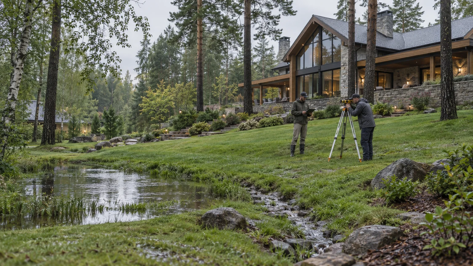
Water does not follow a sales plan. Establish whether the house sits on a ridge, slope, terrace or local basin, and map the road, ditch, neighbouring fills, retaining walls, ponds and natural depressions. Recent landscaping may conceal an old route without providing a safe new one.
Request a current topographic survey with levels and the actual outlines of buildings, hard surfaces, channels, chambers and outlets. A lawn that looks level is not a measurement. A modest change can control flow, while a raised path may block an earlier route. Compare design and as-built levels at entrances, light wells, garage ramps, terraces and the base of the walls.
Inspect the receiving area outside the fence. A filled ditch, damaged culvert or newly raised neighbouring plot may have changed performance after the house was completed. Homes in the waterside-property collection also need a separate review of shoreline, environmental and hydrological constraints. A view of water proves neither groundwater direction nor permission to discharge into it.
Build the history that one visit cannot show
Ask the seller and community operator for grading plans, geotechnical and hydrometeorological reports, as-built surface-water and subsoil-drainage drawings, pump documentation, service logs, repair records, backup-power information and evidence for the outfall. Missing records in an older house are not an automatic reason to withdraw, but they create a defined uncertainty that a verbal assurance cannot remove.
Photographs and video from spring, heavy rainfall and winter operation can be valuable. Verify their date and location. Ask the maintenance team factual questions — which chambers required pumping, which outlets backed up, how the system is cleaned and whether power loss caused an incident — instead of requesting a general opinion that the plot is dry.
Create a timeline of changes. A terrace, extension, pool, new paving, imported soil or removal of mature vegetation can alter impermeable area, flow paths and plant water use. EPA moisture-control guidance connects grading and drainage for rain, snowmelt and irrigation with prevention of water entry into a building. It is a useful inspection principle, not a substitute for Russian requirements.
Investigate soil and water through a series of observations
The investigation brief should reflect the intended use. Can the existing basement be relied upon? Where might a guest house or pool be placed? How will new paving and retaining structures perform? Where can runoff lawfully and safely go? An old report remains useful only if its points can be located, its dates and methods are clear, and subsequent construction has not materially changed the site.
The appointed specialist decides the positions and depths of exploratory points, whether monitoring wells and laboratory tests are required, and how long observations should continue. Buyers should not prescribe a universal borehole count or acceptable water depth. The programme depends on geology, terrain, the building and the decision being tested. The report should give sections, elevations, the conditions under which water was first encountered and later measured, relevant soil properties, limitations and design recommendations.
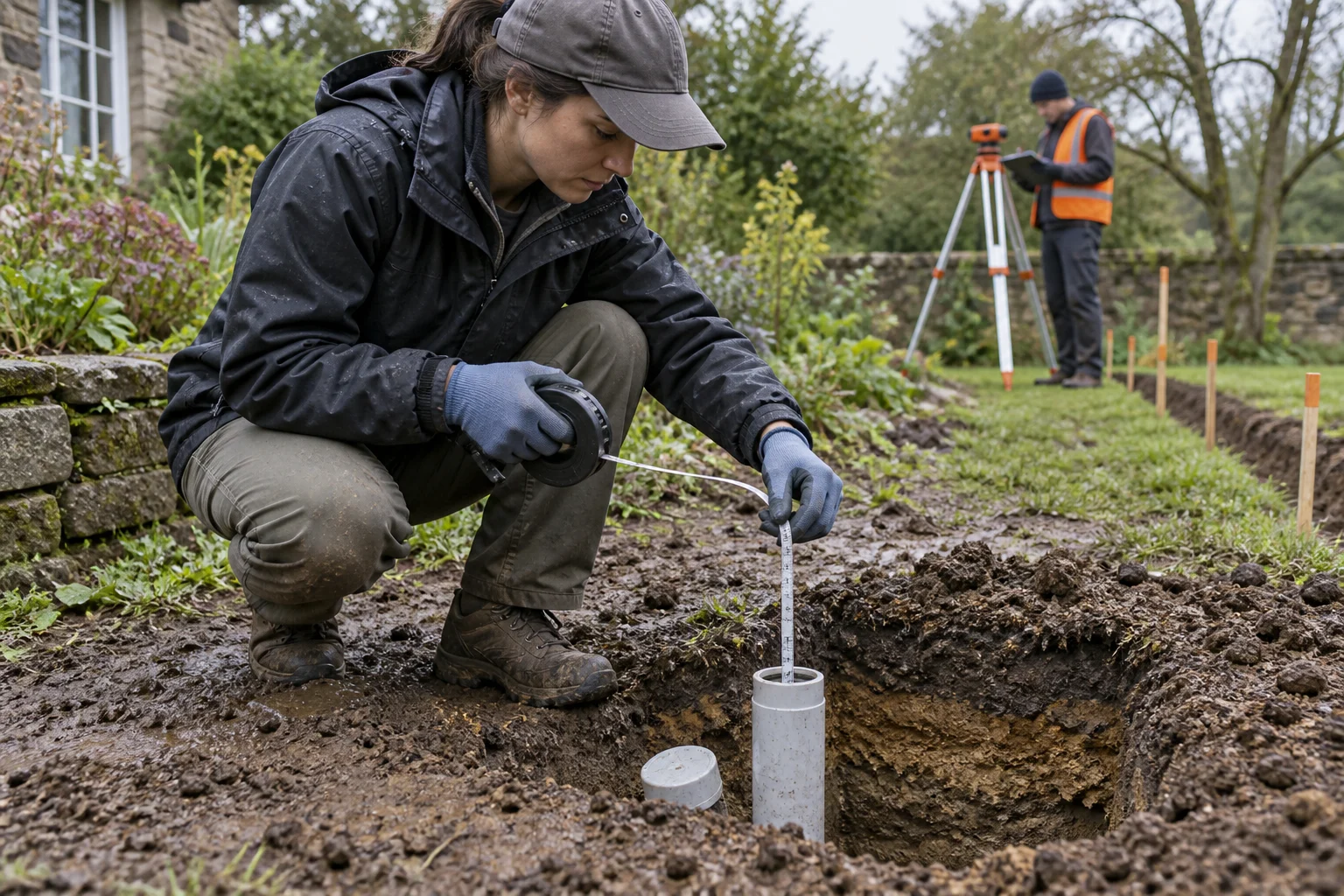
SP 104.13330.2011, published by Russia's Ministry of Construction, treats protection from flooding and groundwater inundation as an evidence- and design-based system of measures. The designer must confirm the current version, applicability and exact provisions for the project. The transaction principle is narrower: drainage cannot be judged independently of the source, the assets being protected and a safe receiving point.
If the transaction window does not cover the informative season, the limitation belongs in the report. Archive measurements, evidence from adjacent works, a repeat visit or a condition for further investigation before an irreversible transaction stage may reduce the uncertainty. A confident sentence that “water is below the foundation” cannot.
Look for water evidence inside the existing house
A landscape-only survey misses half the system. In basements, lower-ground rooms, service spaces and sumps, look for new finishes over localised stains, salts, detached coatings, corroded fixings, darkened timber, odour, water marks on equipment and repeated sealing repairs. A moisture meter can compare areas but cannot identify the source without building analysis.
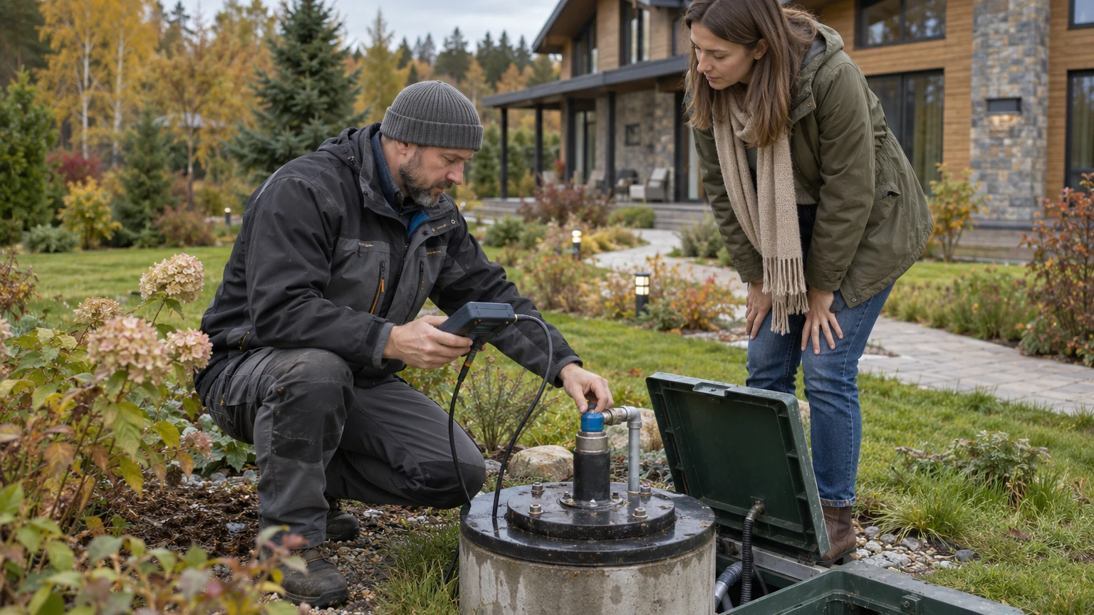
Inspect service penetrations, joints, the floor-to-wall interface, external stairs, below-grade windows, the garage ramp and pump pits. Determine whether dryness comes from passive protection or continuous pumping. If a pump is critical, examine normal and failure scenarios: power, alarm, service access, backflow prevention, discharge destination and the response to breakdown. A second pump in the chamber is not evidence that redundancy works.
Relate the findings to the buyer's refurbishment plan. A newly finished basement does not remove the source, while a redesigned terrace or perimeter path can defeat an existing fall. Combine this work with an audit of hidden engineering behind expensive finishes.
Trace drainage from each inlet to a lawful outfall
“Drainage installed” may describe disconnected perforated pipes, a foundation drain, surface channels, a storage chamber or a pumped station. Obtain the as-built drawing and walk the chain: where water enters, how it travels, where inspection and cleaning are possible, whether gravity or pressure moves it, where it arrives and what happens when capacity is exceeded.
- Are relatively clean roof flows separated from systems that may carry other contaminants?
- Do outlets terminate beside the same foundation or on neighbouring property?
- Can chambers and pumps still be reached after landscaping?
- Could roots, settlement or damaged pipes interrupt the route?
- Where does water go during a power outage or when the receiver is full?
- Who owns the external ditch or network, and on what basis does it accept the flow?
- Is the actual outfall consistent with the land and water regime?
On-site infiltration is not a universal solution. Feasibility depends on soil properties, groundwater, terrain, runoff quality and nearby vulnerable assets. Pumping into another low point can simply relocate the problem. The proposed chain requires hydraulic and legal review, not proof that perforated pipe appeared in a contractor's invoice.
Use at least two different viewing scenarios
The ideal survey catches adverse conditions, but weather cannot be ordered. Use the first visit to map levels, structures and questions; use a second after rain, during snowmelt or at another locally informative time. USGS guidance for rural homeowners specifically recommends visiting during heavy rain or meltwater runoff where possible and paying attention to drainage and the basement.
During a wet visit, record a sequence rather than a collection of puddles: start of rainfall, filling channels, chamber levels, pump activation, outfall condition and the site's response after rain stops. Tie photographs to the plan and time. A hose test may reveal a reverse fall or blocked channel, but it cannot reproduce a large storm catchment or replace calculation.
When comparing homes along Rublevo-Uspenskoye Highway and the New Riga corridor, do not transfer one site's conclusion to another. Adjacent plots can differ in level, imported soil, construction history and external drainage.
Turn evidence into a transaction decision
The final register should separate observed fact, plausible mechanism, verification method, consequence and action. For example: “a water line is visible in the sump; the source is unconfirmed; inspect the construction joint and test the organised drainage; do not price cosmetic repair until the result is known.” This format prevents a premature quotation from masquerading as diagnosis.
Separate diagnostic cost, essential restoration, changes required for the buyer's scheme and recurring operation. Do not estimate from plot area alone: routes, levels, soil, receiver, machinery access, controls and finished landscaping all matter. Compare contractor proposals against the same brief and exclusions.
- The survey records actual levels, hard surfaces, buildings and drainage assets.
- Surface, roof, groundwater, utility and operational sources are distinguished.
- Historic ground information is reconciled with its date and today's layout.
- Water measurements carry an elevation, date and observation conditions.
- Basement joints, penetrations, light wells, sumps and garage ramp are inspected.
- The drainage route is traced to an accessible and lawful receiver.
- Pumps are tested with backup power, alarms and a maintenance scenario.
- External ditches, roads, neighbouring fills and planned works are considered.
- Seasonal limitations are written down instead of hidden by a broad guarantee.
- Unresolved risk is reflected in price, transaction conditions or a decision to walk away.
When browsing the country-property catalogue, treat water not as an isolated defect but as an interaction between terrain, soil, building and the wider catchment. A sound assessment cannot promise permanent dryness. It can establish observed behaviour, vulnerable scenarios and a controlled route from uncertainty to investigation and design.