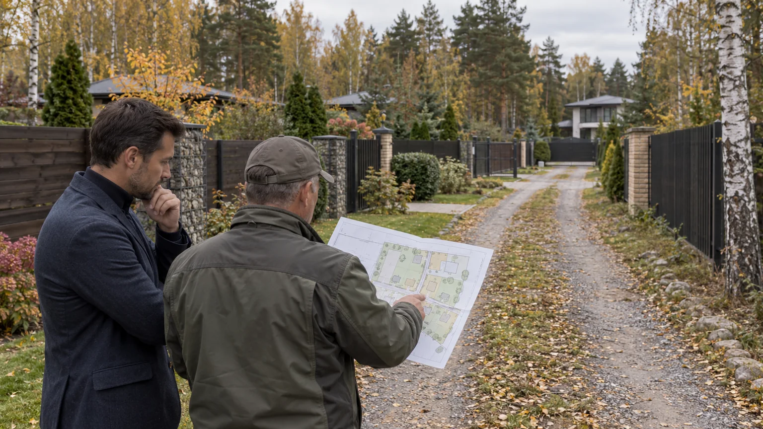
Construction Next Door: How to Investigate What May Appear Beyond the Fence
A buyer-focused method for investigating neighbouring land, planning records, permits and on-site clues before committing to a prime country property.
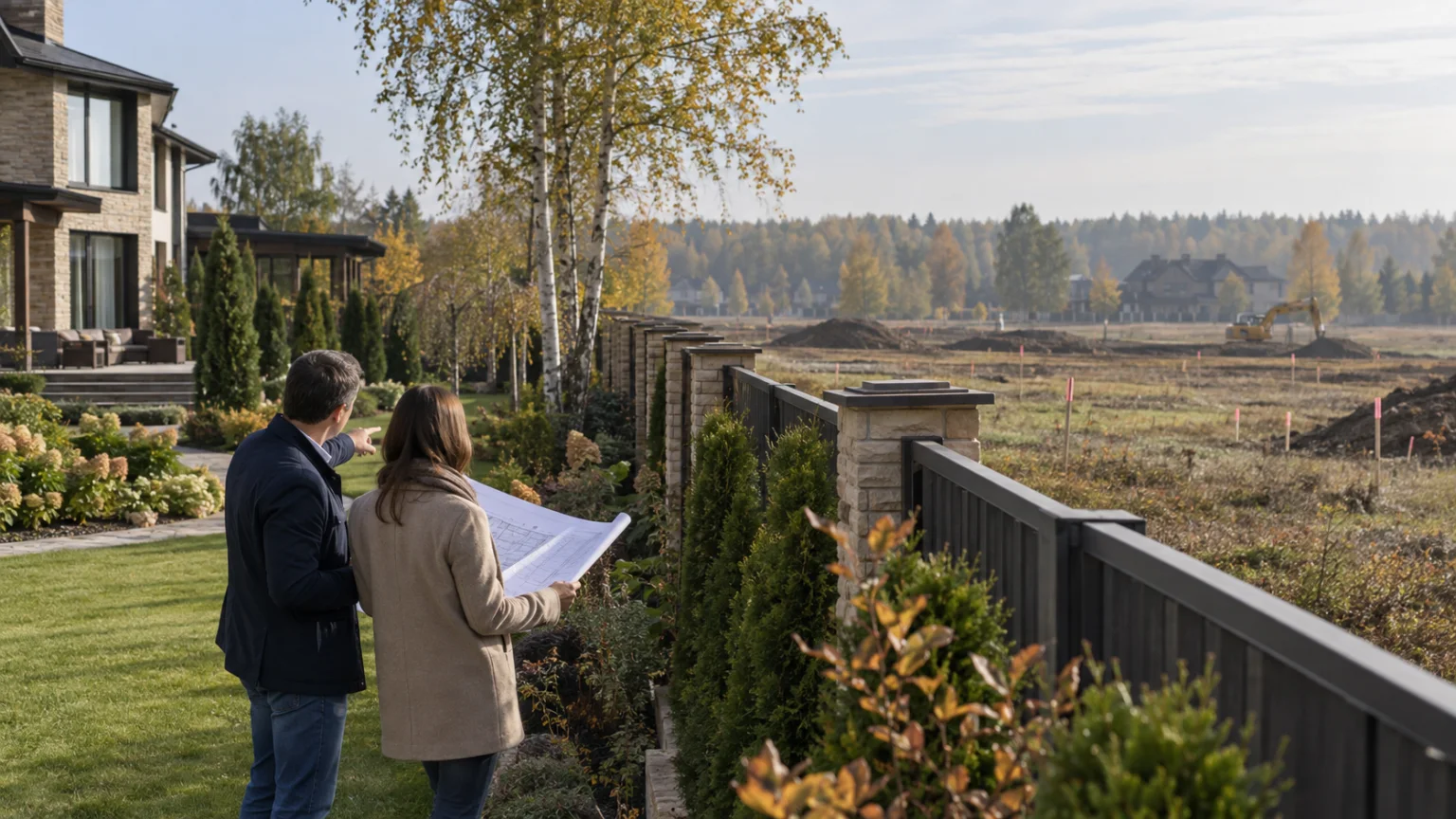
A meadow or wooded edge beyond a garden fence can feel like part of the property being bought, even though it belongs to someone else. It may remain unchanged, receive one private house, become an access route or be absorbed into a more intensive scheme. The buyer’s task is not to predict one perfect future. It is to establish what exists today, what planning rules permit, which site-specific decisions have already been made and which claims remain speculation.
This investigation belongs in the wider due-diligence process for a prime country home. View, privacy and quiet may carry real value, but an agent’s assurance that “nothing will ever be built” is not evidence. A useful output is a dated neighbourhood file: adjacent parcels, applicable planning layers, published projects and permits, site observations, unresolved questions and a record of how every conclusion was reached.
Map the area of influence, not merely the shared boundary
Start by defining the investigation area. The parcel touching the fence is only one part of it. A new access road, construction route, utility corridor or large site beyond a belt of trees may affect the property without sharing a boundary. There is no universal radius. Let sight lines from the main rooms, terrain, drainage, access and the plausible scale of neighbouring land determine the search.
Russia’s National Spatial Data System can help identify cadastral geometry and available public spatial information. Treat it as a navigation layer. Record parcel numbers, boundaries and displayed land information, then verify transaction-critical points through current official records and professional review. A building missing from a map is not proof that no proposal exists, and a screen-level gap between boundaries is not a site measurement.
- plot the target property and every adjoining parcel;
- mark public land, roads, tracks and land without an obvious private boundary separately;
- identify larger sites capable of phased development;
- show woodland, watercourses, depressions and landform that influence view and runoff;
- save the date, source and scale of each layer.
Do not infer the future from the current owner or one displayed land-use label. Ownership may change, while the lawful development envelope comes from several documents read together. A cadastral layer helps answer where recorded land lies; it does not replace zoning and adopted planning decisions.
Keep four kinds of evidence separate
A common mistake is to merge planning potential, a published proposal and active construction into one story. Use four columns. First, record actual conditions on inspection day. Second, define the planning envelope: functional and territorial zones, permitted uses, parameters and constraints. Third, list adopted site-specific decisions such as planning documentation and relevant construction permits. Fourth, record visible implementation: hoarding, temporary power, survey markers, machinery or earthworks.
A land-plot development plan draws on territorial planning, zoning, planning documentation, property-register information and public planning systems. It supports design and construction within a particular parcel. A buyer should not assume that every document for neighbouring privately owned land will be openly available. The professional task is to distinguish public material, information that can be lawfully requested and evidence that the seller should provide for the property being sold.
Official Moscow Region guidance advises project teams to use a current land-plot development plan and information from the regional planning system, and to read both the graphic and written parts of an approved planning project. The buyer can apply the same discipline: a coloured zone on a map is incomplete without its written rules, and an old downloaded file is incomplete without a search for later amendments.
- The general plan describes the territory’s broader functional direction and major planned infrastructure, but does not alone prove a finished design next door.
- Land-use and development rules connect a territorial zone to uses and parameters; the map and written regulation belong together.
- Planning and subdivision documentation can define red lines, access and the structure of a particular planned area.
- Permit records indicate a more specific stage, but a negative search in one register does not prove that every kind of building is prohibited; procedures vary by asset type.
Build a chronology of decisions
Find the current general plan and land-use rules for the relevant municipal district. Then look for adopted planning documentation and published decisions to prepare or amend it. Search the Moscow Region’s official register of construction permits using the address, cadastral number, developer and nearby landmarks. Address formats vary, so preserve the search terms and inspect attachments manually.
Do not present the start of a procedure as an approved outcome. A draft, a decision to prepare documentation, public consultation, formal adoption and a construction permit are separate events. For each item record the issuing body, number, date, legal status, covered area and attachments. A plan can reveal the access road, red line or project boundary that the document title omits.
Check the reverse possibility as well: an earlier decision may have been amended or cancelled. A historic PDF remains useful evidence of the timeline, not automatic proof of today’s regime. Where the outcome could change the purchase decision, ask a planning lawyer or specialist to assemble the current chain of acts as of the transaction date.
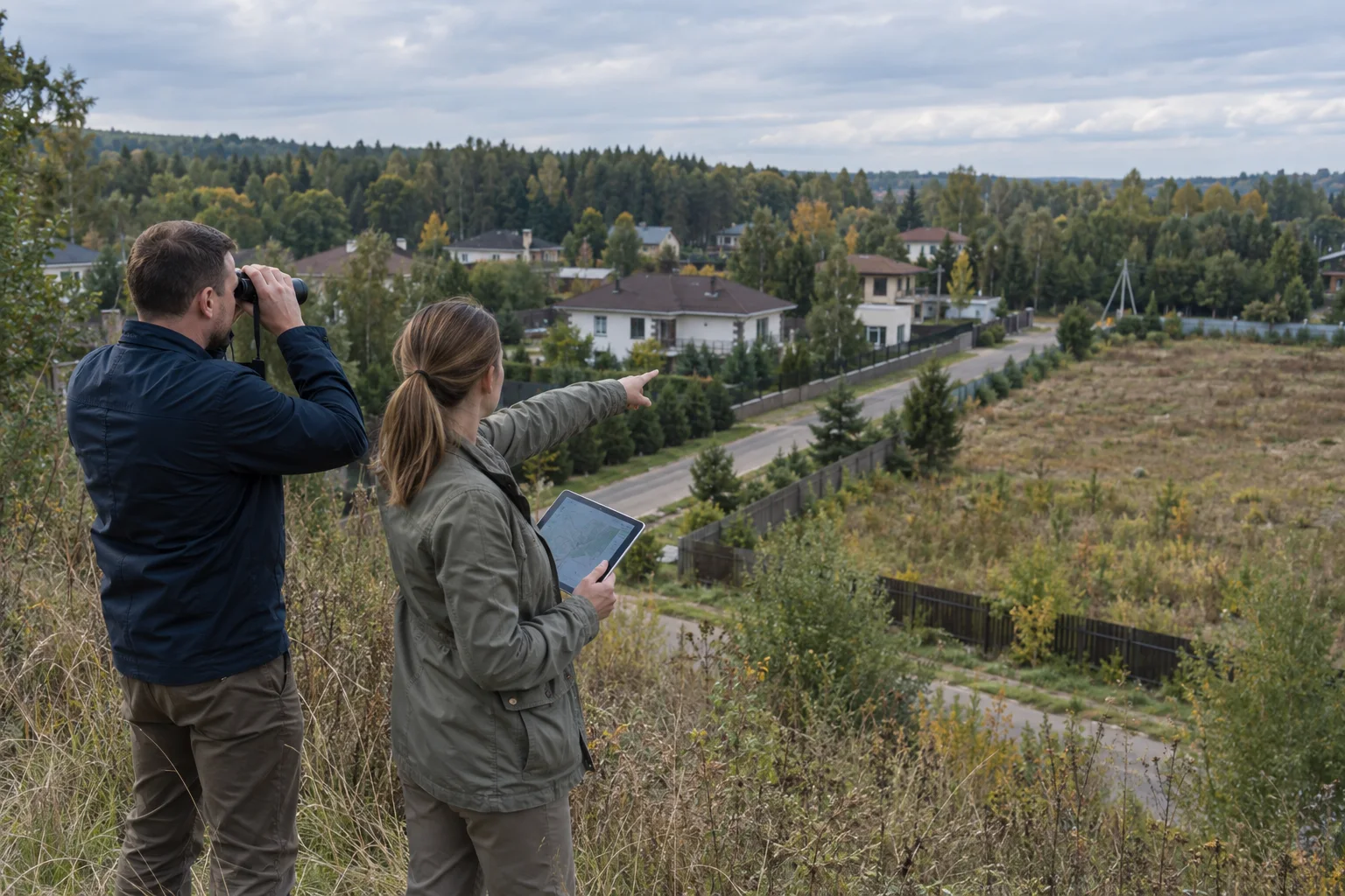
Translate a possible project into effects on the home
A project label says little about its actual impact. Even one neighbouring house may alter views, garden privacy, shade, surface runoff and access. A larger scheme introduces phasing, construction traffic and dependence on external infrastructure. Build an impact matrix around physical and operational pathways rather than emotional labels.
- View and privacy: identify windows, terraces and garden areas exposed to sight lines; test the permitted envelope, not only a current sketch.
- Daylight and microclimate: ask an architect to model geometry and orientation where the issue matters; a photograph is not a solar study.
- Terrain and water: consider whether filling, paving or a new road may redirect surface flow. Combine this review with the plot drainage and seasonal-water assessment.
- Access: establish whether construction vehicles could share the household’s daily route, school run or a narrow bridge.
- Construction period: map likely dust, working access, temporary lighting and plant locations, but do not promise a duration without a supported programme.
- Completed operation: consider permanent traffic, deliveries, external lighting, servicing and infrastructure demand.
Update the property’s real-world route map with potential closures, alternative exits and vulnerable junctions. Straight-line distance from the site does not reveal whether trucks will pass the gate.
Inspect on a working day and during real household hours
Planning records do not show every current use. Visit during an ordinary working day and at the time the household expects to use the home. From public roads and other lawful viewpoints, record entrances, verges, temporary utilities, site boards and terrain changes. Do not enter private land or compromise a neighbour’s privacy.
Survey stakes, clearance or parked machinery justify questions, but they do not prove a specific project. Record the location, date and observed activity without adding a conclusion. Reconcile the observation with documents later. If a site information board is present, verify its references against an official source rather than treating the photograph as sufficient.
Ask the community manager who owns the roads, how heavy-vehicle access is controlled, whether working hours are governed by community rules, how passes are issued and who repairs damaged surfaces. These questions extend the wider management-company review. Minute verbal answers and request the document behind each one.
Stress-test the seller’s assurances
Claims such as “the woodland is protected forever”, “only one villa is allowed” or “the project has been frozen” must be converted into verifiable questions. Who owns the land? Which current planning regime applies? Is there an adopted act? What area and period does it cover? Does “frozen” mean no work today, an expired approval, lack of finance or a formal cancellation?
Ask the seller to identify known proposals for surrounding land in writing and provide the documents relied upon. If a protected outlook or the absence of a certain use is fundamental, a lawyer should consider whether a precise representation, continuing disclosure duty or other transaction mechanism is available. Neither sales material nor this guide can substitute for property-specific drafting.
Be careful with a discount described as compensation for “temporary construction”. Without a supported end state, a buyer may price a permanent change as short disruption. Consider three scenarios: the most likely result supported by adopted documents, a more intensive outcome still allowed by the planning envelope, and an uncertainty case where critical evidence remains unavailable.
Create a conclusion another adviser can reproduce
The final file should allow a second professional to retrace the work. For each statement record the source, access date, parcel or address, act reference, attachment page and confidence level. Keep screenshots with live links and downloaded records: an online map can change, while the same URL may later display a different layer.
- The context plan includes the target plot, adjoining land, roads and non-adjoining sites capable of affecting it.
- Parcel identifiers and public spatial data are verified where they influence the decision.
- The current general plan and land-use rules are read as maps plus written regulations.
- Attachments to adopted planning documentation have been inspected.
- Drafts and preparation notices are not presented as approved development.
- Permit searches use several identifiers and their limitations are documented.
- On-site clues remain separate from confirmed official facts.
- View, privacy, water, access, construction-phase and operating effects are assessed.
- Important seller assurances are evidenced in writing or marked unconfirmed.
- Residual uncertainty is reflected in price, conditions or a decision to withdraw.
When comparing homes in the country-property catalogue, assess not only today’s outlook but how robust the setting is. A broad conclusion about the Rublevo-Uspenskoye corridor or New Riga cannot be transferred to one fence line: neighbouring parcels may carry different rules and decision histories. Good due diligence cannot promise an unchanged landscape. It can separate what exists from what is allowed, what is allowed from what is approved, and what is approved from what is actually being built.